
Mission planning, ground control placement, coordinate setup

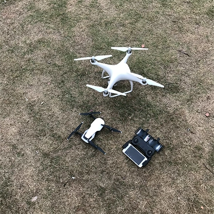
Drone flight execution, image capture, metadata collection

Structure-from-Motion, bundle adjustment, densification

Orthomosaic, point cloud, DEM, 3D mesh creation

Accuracy verification, format conversion, data delivery
Mission planning, ground control placement, coordinate setup
Drone flight execution, image capture, metadata collection
Structure-from-Motion, bundle adjustment, densification
Orthomosaic, point cloud, DEM, 3D mesh creation
Accuracy verification, format conversion, data delivery