
Raw LIDAR import, trajectory review, density checks

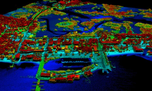
Automated and manual point cloud classification

DTM/DSM creation, contour generation, breaklines

Vector extraction, asset mapping, utility identification

Final outputs in CAD, GIS, and engineering formats
Raw LIDAR import, trajectory review, density checks
Automated and manual point cloud classification
DTM/DSM creation, contour generation, breaklines
Vector extraction, asset mapping, utility identification
Final outputs in CAD, GIS, and engineering formats