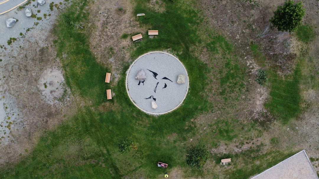
Precision Geospatial Services for Smarter Networks

PalniES delivers end-to-end geospatial solutions that turn complex telecom and infrastructure data into actionable insights. From aerial imagery and LiDAR to GIS digital twins and precision annotations, we provide the spatial intelligence needed to plan, design, and manage networks with accuracy and efficiency.

Our geospatial services help you:

  • Capture and process high-resolution aerial imagery and LiDAR data
  • Build GIS digital twins for network planning and visualization
  • Manage and annotate spatial data for engineering, permitting, and construction
  • Integrate geospatial insights into OSP, ISP, and wireless network designs

Comprehensive Geospatial Solutions for Network Planning and Management

PalniES delivers end-to-end geospatial services that turn complex spatial data into actionable insights for telecom and infrastructure projects. From aerial data capture and photogrammetry to GIS digital twin development, data annotation, and spatial database management, we ensure your network planning and asset management are informed, accurate, and scalable. Our specialists leverage drones, LiDAR, satellite imagery, and advanced GIS platforms to:

  • Perform coverage analysis and strategic planning based on existing infrastructure

  • Digitize points of interest and create detailed basemaps with street, building, and asset data

  • Move network data into GIS environments for easier management, visualization, and continuous validation

  • Provide geospatial insights that support infrastructure planning, operational decision-making, and ongoing network optimization

High-Precision Data Capture

Drone photogrammetry, LiDAR, and satellite imagery for centimeter-level accuracy

GIS Digital Twin Integration

Real-time geospatial platforms that connect design, operations, and analytics

Scalable Data Management

Enterprise geodatabases with version control, annotation, and API access

Our Geospatial Service Capabilities

PalniES provides a full suite of geospatial capabilities to support accurate, efficient, and data-driven network planning. Our services include digital photogrammetry, LiDAR processing, and ortho photo production to capture precise spatial data. We create GIS digital twins, annotate and label critical infrastructure, and manage spatial databases to ensure your network data is organized, actionable, and ready for planning, construction, and operational decision-making. These capabilities enable smarter deployments, better asset management, and more informed strategic planning.

Digital Photogrammetry

High-resolution aerial photography, drone mapping, orthomosaic generation, and 3D point cloud creation for infrastructure and site documentation.

LiDAR Services

Airborne and terrestrial LiDAR data collection, point cloud processing, terrain modeling, and vegetation analysis for corridor mapping and asset inventory.

Ortho Photo Production

Georeferenced orthophotography with color balancing, mosaicking, and quality control for GIS integration and base map development.

GIS Digital Twin

Web-based GIS platforms integrating design, as-built, and operational data into live digital twins for infrastructure management and planning.

Annotation and Labelling

Feature extraction, asset tagging, attribute population, and quality assurance for telecom networks, utilities, and transportation infrastructure.

Data Management

Enterprise geodatabase design, spatial data ETL workflows, version control, metadata management, and API integration for enterprise GIS.

Tools & Technologies We Use

Industry-leading geospatial platforms

Turning Geospatial Data into Actionable Insights

PalniES geospatial services help clients transform complex spatial data into actionable intelligence for telecom and infrastructure projects. Our solutions support accurate network planning, as-built verification, and construction progress monitoring, while also enabling detailed infrastructure corridor mapping and efficient utility asset management. By providing precise, real-world spatial insights, we help clients make informed decisions, reduce errors, and keep projects on time and on budget.

Telecom Network Planning & As-Builts

Aerial mapping and GIS digital twins for fiber route planning, pole inventory, as-built documentation, and network operations management.

Infrastructure Corridor Mapping

LiDAR and photogrammetry for highway, rail, and utility corridor mapping, supporting design, permitting, and asset management workflows.

Construction Progress Monitoring

Periodic drone surveys and orthophoto generation for earthwork volume calculations, progress tracking, and as-built verification.

Utility Asset Management

GIS-based digital twins integrating design, as-built, and inspection data for electric, gas, water, and telecom utility operators.

Transform Your Network with Precision Geospatial Intelligence

PalniES helps clients turn raw spatial data into actionable intelligence that drives smarter network planning, construction, and operations. From drone and aerial mapping to LiDAR processing and GIS digital twin development, our geospatial solutions provide accurate insights for asset management, infrastructure monitoring, and strategic decision-making. By integrating geospatial intelligence into your workflows, you can reduce errors, optimize deployments, and manage networks with confidence.